Camera Alignment
The camera coordinate and orientation values are calculated using a 'camera resection' process that operates independently of 3ds Max. This not only creates the all the alignment data necessary to set up the 3ds Max cameras but also quantifies the accuracy of the alignment and identifies any problems within the survey or photograph so they can be fixed prior to their creation in the next stage.
3ds Max camera setup
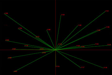
The alignment data is entered into a spreadsheet and a fully automated script sets up the cameras and renders out the survey points to verify the camera match. Also included in the camera setup is a sun lighting solution based on the the exposure setting, colour temperature, date and time. In this process there are no manual adjustments to the values as per a conventional camera matching procedure and any problems identified by mismatched rendered survey points would result in the process being checked again in the previous resection stage.
![]()
In this way the Authenticated Imaging System has two fully independent stages of verification to ensure the end user can start rendering with the utmost confidence in the alignment.
Alignment to aerial or offshore images
Pictures taken from aircraft, drones or boats are sometimes required to be verified and with traditional methods where even an rough camera coordinate is not available this can be a long and time consuming process which may ultimately prove impossible and therefore risky to commission. This is no problem for the Authenticated Imaging System which can utilise photogrammetry techniques which are even more accurate than a single image resections. The below fully verified image taken from the Emirates cable car over the Thames..

Customer Deliverables
The result of these processes is a package containing the following;
Layered tiff file consisting of the base photograph, survey marked coordinates, rendered survey points and image data
Photographic record of the camera in it's position
3ds Max file* containing a 3Ds Max 'physical camera'** and survey coordinates to enable to end user to render out their own survey coordinates as per their existing methodology if they so require.
A text file containing all the data used to set up the cameras which enables anyone to set up the cameras using manual methods if required.
Original survey data in CSV and DWG formats
Survey data moved to a new point of origin suitable for use in 3dsMax ** in CSV and DWG formats.
* 3ds Max versions 2015/16/17/18 are available as requested by the end user.
** For panoramic images the end user simply converts this to their Vray camera or Corona camera modifier
*** It is recommended that the client supplies their Eastings and Northings offset at the start of the job.
© Arcminute Ltd Registered in England and Wales No 7544732